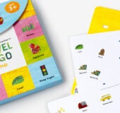
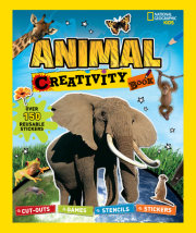
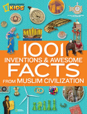
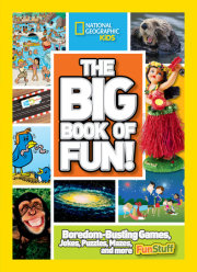
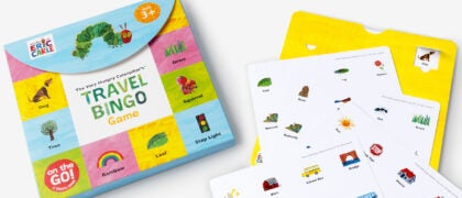
Close Modal

National Geographic Kids Beginner's U.S. Atlas 4th Edition

Hardcover
$19.99 US
10.75"W x 13.75"H x 0.57"D   | 41 oz | 10 per carton
On sale Jul 04, 2023 | 128 Pages | 9781426374203
Age 7-10 years | Grades 2-5
Reading Level: Lexile 950L

See Additional Formats
additional book photo
Learning about America is an exciting adventure with the updated fourth edition of this atlas specially created for children by the map experts at National Geographic.

It’s a big country, and the cartographic experts at National Geographic want youngsters to have the engaging tools they need to explore and understand it. This fully revised and updated United States atlas features large, vibrant maps custom designed for children, along with bright, bold photographs and lively text that bring the nation’s people, places, and natural wonders to life. Featuring: 
  • Empowering instructions for how to read and understand maps
  • Colorful physical and political United States maps 
  • 50 state maps designed to make it easy to find towns, cities, and physical features such as mountains, rivers, and lakes
  • Lively essays highlighting each state’s unique character and strengths 
  • Regional maps that provide a broad context for each state's location
  • A feature on United States territories 
  • More than 200 colorful photographs  
  • United States facts at a glance, such as the largest cities, the highest mountain, and the largest states by area
  • And more! 
National Geographic Kids inspires young adventurers to explore the world
through award-winning magazines, books, apps, games, toys, videos, events, and a website, and is the only kids brand with a world-class scientific organization at its core. This book and series is created by National Geographic contributors, including researchers, photographers, content experts, and educational specialists. View titles by National Geographic

Photos

additional book photo

About

Learning about America is an exciting adventure with the updated fourth edition of this atlas specially created for children by the map experts at National Geographic.

It’s a big country, and the cartographic experts at National Geographic want youngsters to have the engaging tools they need to explore and understand it. This fully revised and updated United States atlas features large, vibrant maps custom designed for children, along with bright, bold photographs and lively text that bring the nation’s people, places, and natural wonders to life. Featuring: 
  • Empowering instructions for how to read and understand maps
  • Colorful physical and political United States maps 
  • 50 state maps designed to make it easy to find towns, cities, and physical features such as mountains, rivers, and lakes
  • Lively essays highlighting each state’s unique character and strengths 
  • Regional maps that provide a broad context for each state's location
  • A feature on United States territories 
  • More than 200 colorful photographs  
  • United States facts at a glance, such as the largest cities, the highest mountain, and the largest states by area
  • And more! 

Author

National Geographic Kids inspires young adventurers to explore the world
through award-winning magazines, books, apps, games, toys, videos, events, and a website, and is the only kids brand with a world-class scientific organization at its core. This book and series is created by National Geographic contributors, including researchers, photographers, content experts, and educational specialists. View titles by National Geographic